Auckland Underground Services Survey
Metlifecare is one of New Zealand's largest retirement village providers who own and operate 43 retirement villages throughout the North Island of New Zealand.
Metlifecare approached Babbage to assist them with a full site survey, including detailed mapping of all underground services, on an existing 5ha retirement village complex, Hillsborough Heights Retirement Village, Auckland. This provided Babbage the opportunity to deploy some of the latest detection and mapping technology.
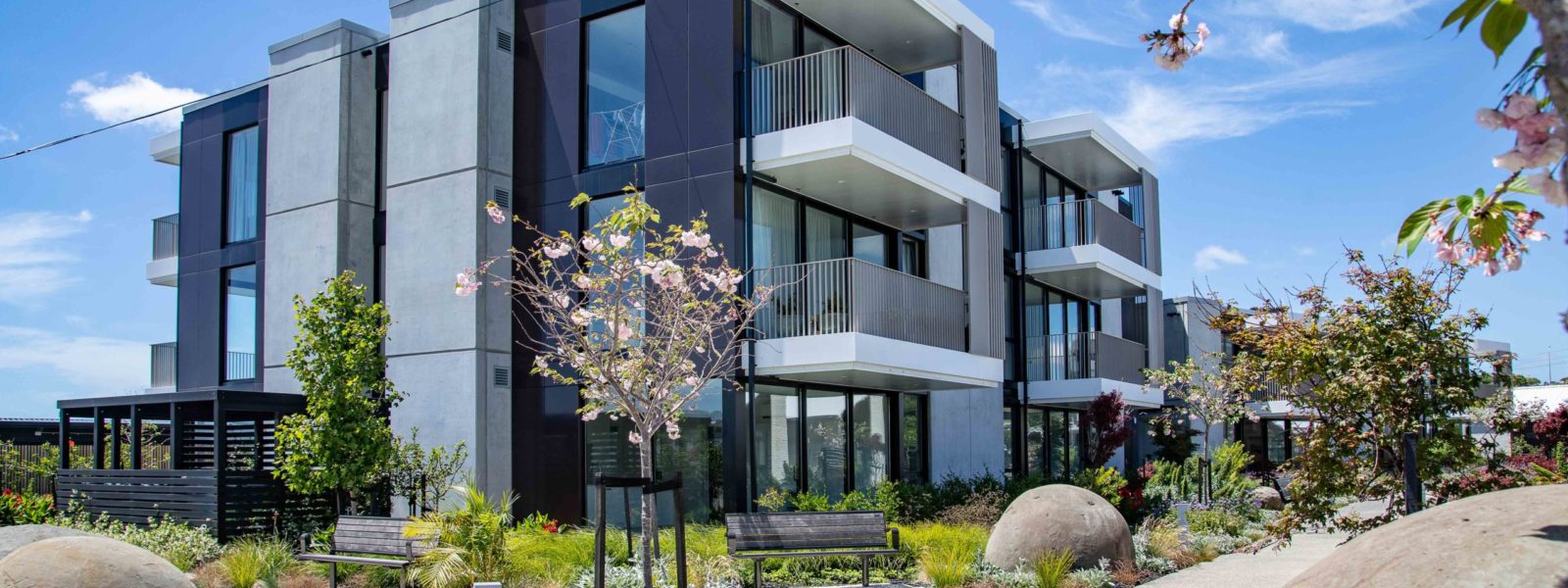
Hillsborough Heights Retirement Village is one of the jewels in Metlifecare’s considerable crown affording panoramic 360-degree views across two harbours close to central Auckland. Originally built in the mid-late 1980s and having undergone countless expansions, upgrades and refits over the following four decades, no comprehensive cohesive plan of the village, or its hidden underground infrastructure existed. As part of a significant renewal programme, including the upgrade of underground electrical infrastructure across the entire village, an accurate and up-to-date digital model was required to inform design and support facility management of this key asset.
Key considerations for the project included building a digital model that could be updated as renewal works were completed as well as recording the location and condition of all underground services including 3 waters, gas, power and telecommunications.
Babbage partnered with our trusted subcontractors ULS Auckland Limited for ElectroMagnetic Location (EML) and Ground Penetrating Radar (GPR) underground service location and Pipevision Limited for drainage CCTV and location.
Due to the expansive and complex nature of the site and the sheer volume of criss-crossing services, careful attention had to be paid to the method of detection and mapping of site features to ensure nothing was missed and the digital model accurately reflected the reality being captured.
In addition, being an operational retirement village with a range of care options on offer, minimising disruption to residents was paramount.
Our Land Surveying team rose to the occasion with an innovative methodology combining multiple technologies simultaneously to rapidly capture the comprehensive information required.
For above-ground features this meant a combination of static laser scanning and conventional terrestrial surveying tools such as total station and RTK GNSS to develop a digital twin and topographic site plan of the site to a high level of detail. For underground drainage assets and utilities, it involved combining underground detection technologies such as CCTV, ELM and GPR together with hand-held mobile laser scanning and RTK GNSS to rapidly follow behind detection teams capturing ground surface markings and service depths.
During the field capture campaign, the survey team completed concurrent scan registration, extraction and modelling to develop the digital model near simultaneously with capture to identify gaps and provide early datasets to design teams already engrossed in the design and consenting phase of the project. Ensuring this worked smoothly involved skilled communication and utilisation of our 12D Synergy common data environment (CDE) to track communication and data releases and ensuring all stakeholders had prompt access to the most up-to-date data available.
Additional challenges included conducting large parts of the field campaign in winter months navigating adverse weather conditions, operational stormwater drainage lines and aging water infrastructure, including asbestos cement pipes that proved exceptionally difficult to locate.
Perseverance and tenacity were required in large doses to ensure that these challenges had a minimal impact on project timelines.
Clear communication and expert coordination of our subcontractor teams were crucial. We have formed strong relationships with our subcontractors and have a rigorous subcontractor selection process that is based on quality, proficiency and track record.
Regular meetings were set up with representation from our client, their development project management team, design consultants, the village operations team, ourselves and our subcontractors to share information, resolve any issues, prioritise tasks and focus on key objectives. These meetings assisted the client to best manage risk through prompt information sharing and risk identification. In many cases our survey team and subcontractors were able to identify potential issues with proposed design elements before designs were locked in and during data capture thanks to their intimate knowledge of the site and the opportunity to input into design decisions rather than just being the providers of base data.
Lessons learned from the project include the potential for delays when dealing with very old infrastructure that can prove to be more difficult to detect than some modern materials, the importance of collaboration and co-creation in the design process particularly including field staff in meetings due to their intimate knowledge of site conditions, and the value of utilising different capture tools.